Zion National Park
Sheer sandstone walls in red, cream and pink, a river canyon you can wade, and one of the most famous ridge hikes in America.
- Best time to go
- April to early June and September to early November, avoiding the hottest summer weeks
- Local time
- –
- Currency
- US Dollar (USD)
- Reading time
- 8 min
- Language
- English
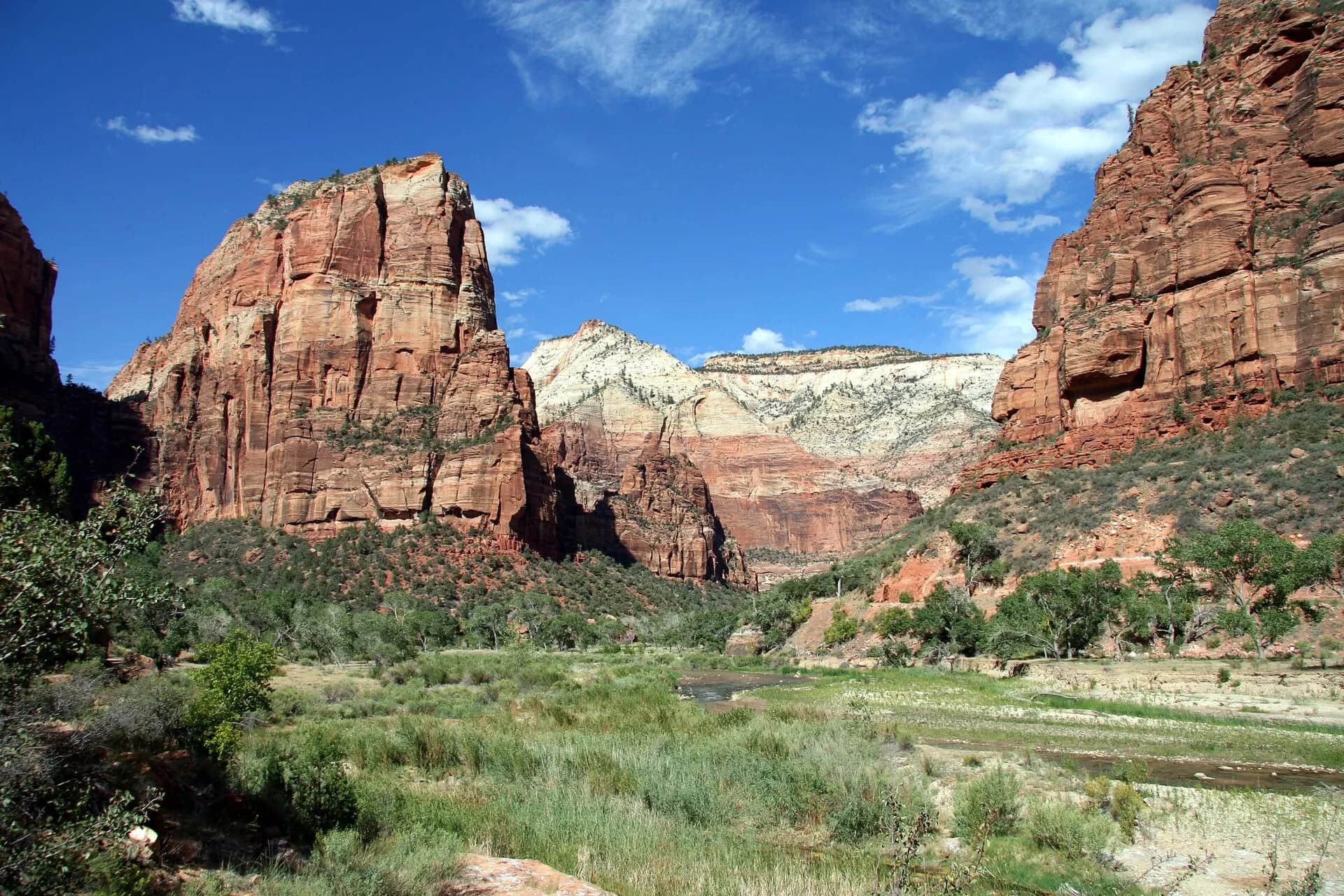
Zion National Park, in the southwest corner of Utah, is built around a single dramatic gorge: Zion Canyon, cut by the North Fork of the Virgin River through Navajo Sandstone that rises in places more than 600 metres straight up from the valley floor. The rock shifts from deep red at the base to cream and white near the top, and in autumn the cottonwoods along the river turn gold against it. It is Utah's oldest national park and one of the busiest in the United States.
Most visitors spend their time in the main canyon, reached from the gateway town of Springdale and served by a free shuttle for much of the year. There is more beyond it: the high, quiet Kolob Terrace with its famous Subway, the separate Kolob Canyons section off Interstate 15, and the slickrock country on the east side, reached through a historic tunnel. Two of the park's best-known hikes, Angels Landing and The Narrows, need some planning, one for a permit and the other for the weather.
The top 11 in Zion National Park
- 1
Springdale
Photo: Pierre André Leclercq, CC BY-SA 4.0, via Wikimedia Commons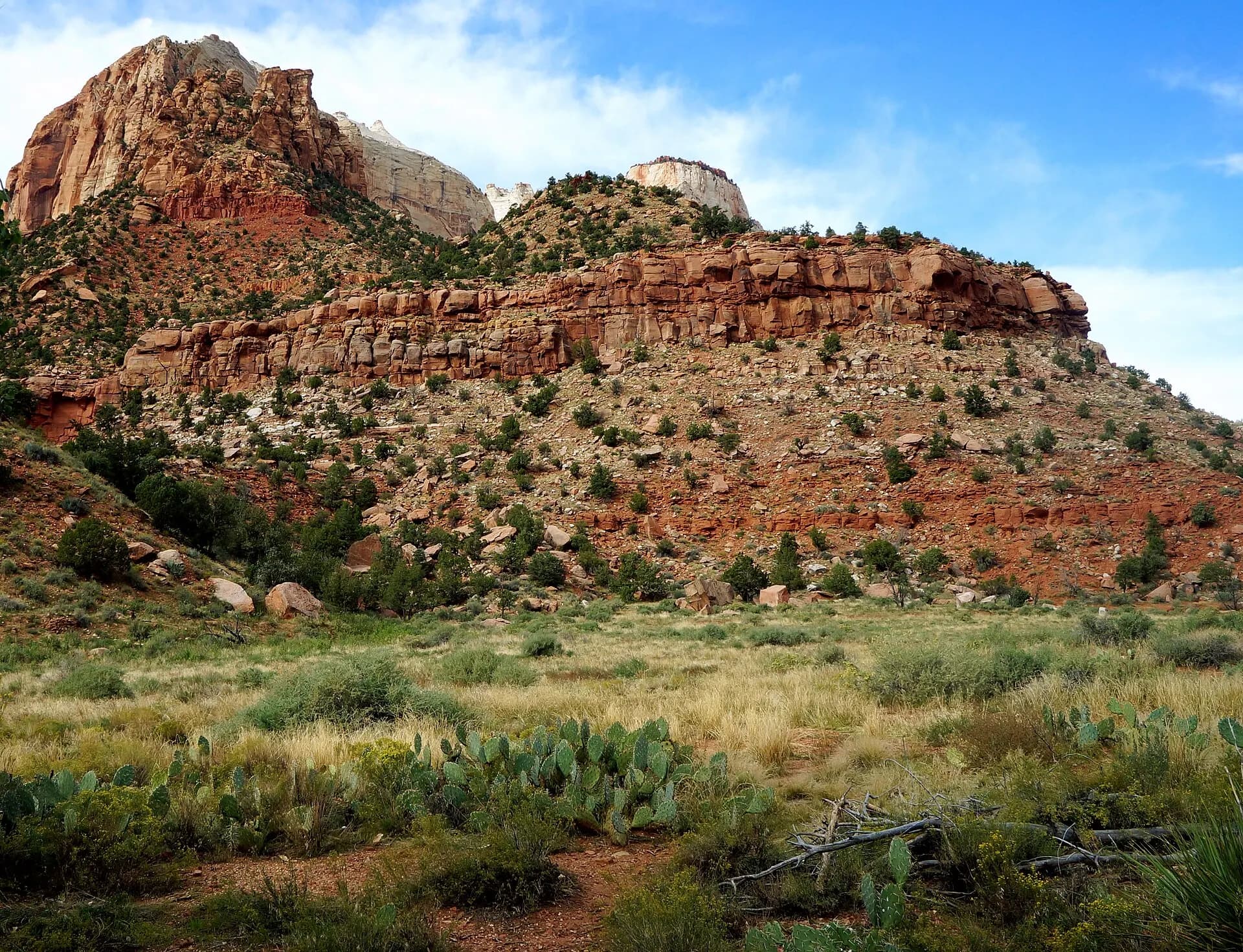
The small town at the South Entrance is where most people sleep, eat and rent gear. A free town shuttle runs along the main street to Zion Canyon Village, where a footbridge crosses to the visitor centre, so it's easy to leave the car at your hotel for the whole stay.
- 2
Pa'rus Trail
Photo: Vulturesong, CC0, via Wikimedia Commons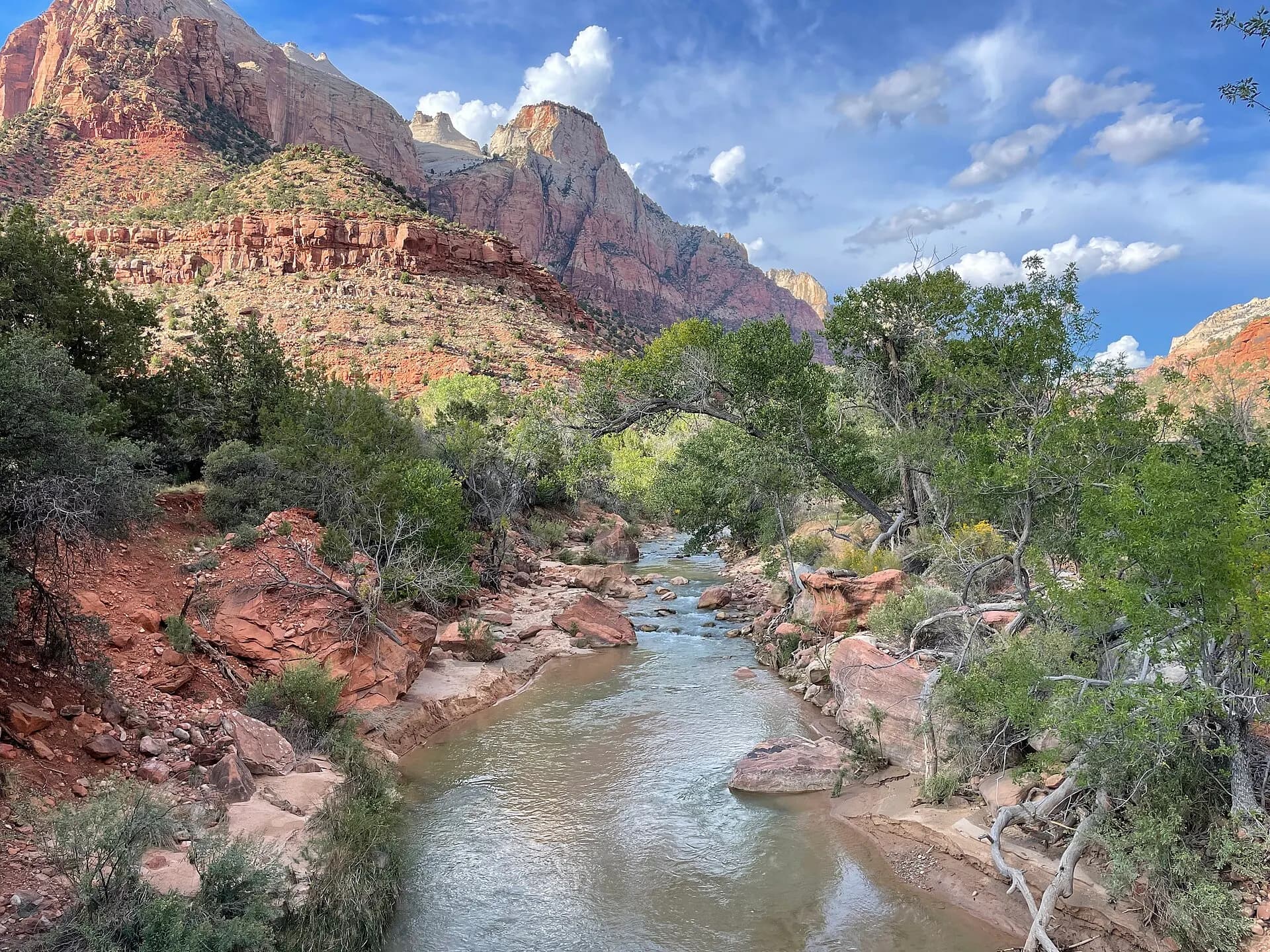
A flat, paved path that follows the Virgin River from the visitor centre towards Canyon Junction, with open views of the Watchman and the Towers of the Virgin. It's the only trail in Zion where leashed dogs and bicycles are allowed, and a gentle first walk on arrival day.
- 3
Watchman Trail
Photo: Vulturesong, CC0, via Wikimedia Commons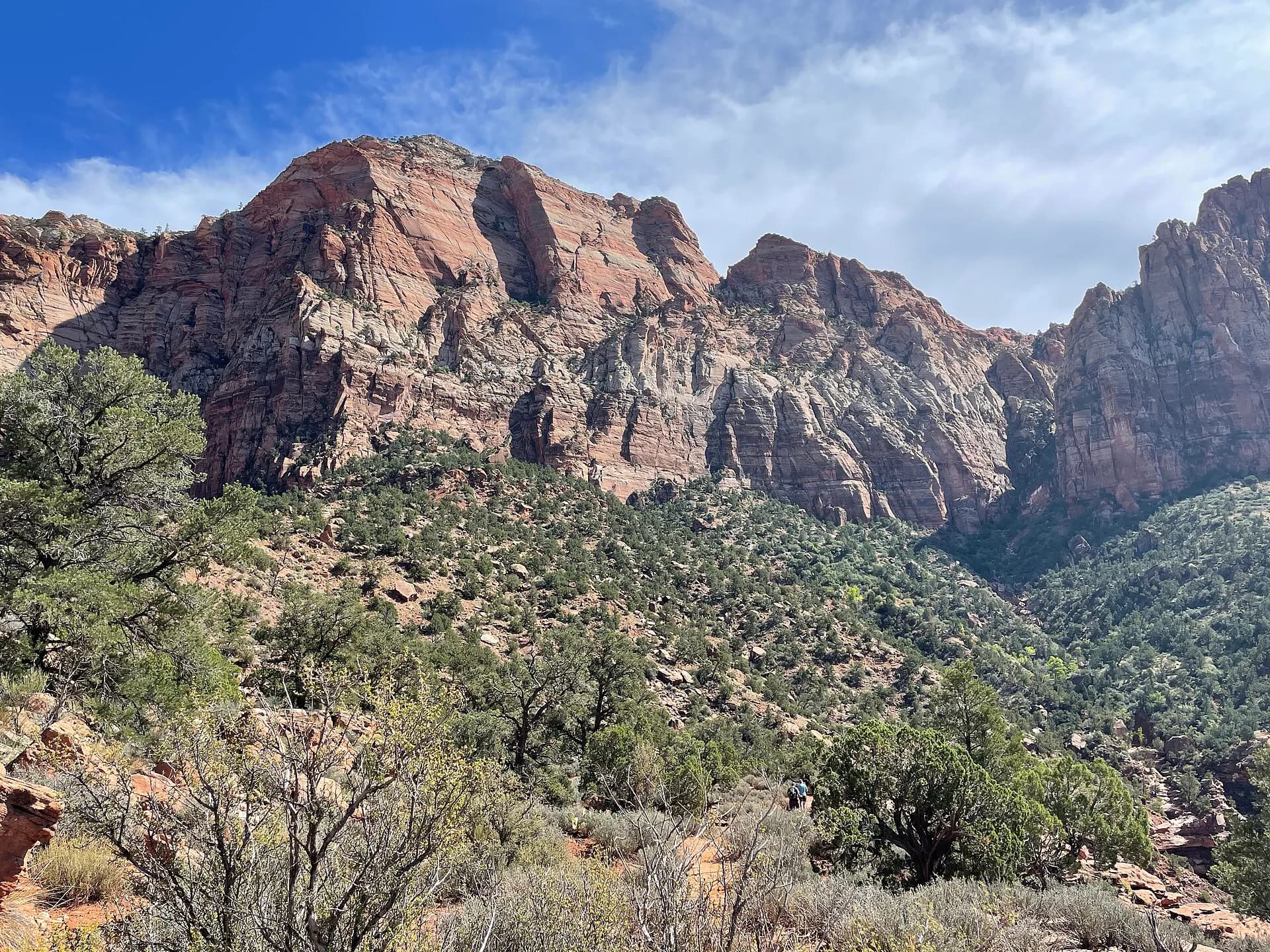
A short climb to a bench below the Watchman, the peak that guards the canyon entrance, with views over Springdale and the lower canyon. It starts at the visitor centre, so it needs no shuttle and is handy when the queues are long.
TipGo in the late afternoon, when the low sun turns the Watchman orange.
- 4
Zion Canyon Scenic Drive
Photo: Vulturesong, CC0, via Wikimedia Commons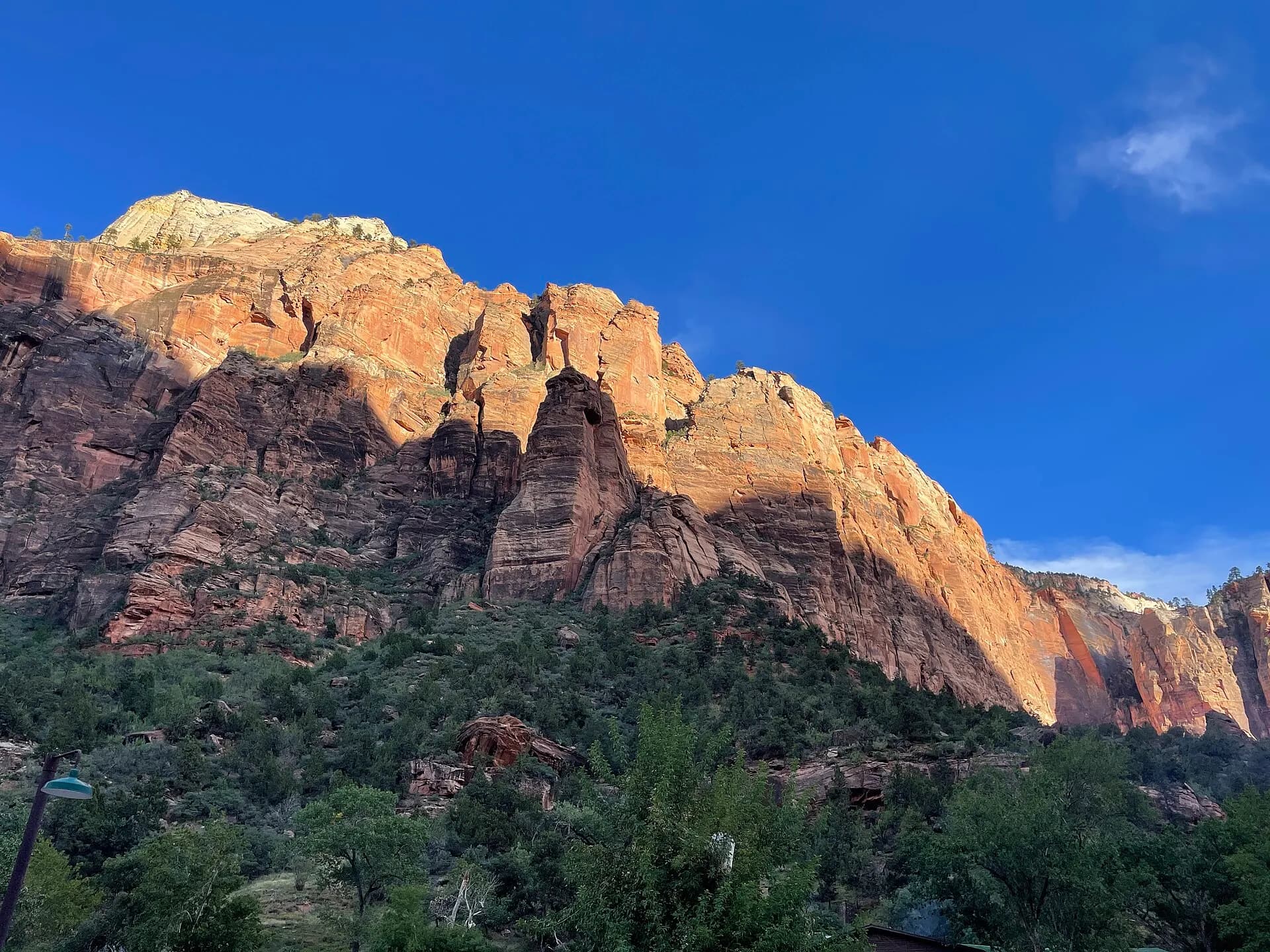
The road runs about 13 kilometres up the canyon floor from Canyon Junction to the Temple of Sinawava, past the Court of the Patriarchs, Zion Lodge, the Grotto, Weeping Rock and Big Bend. For most of the year, from around March to late November and over the Christmas holidays, it is closed to private vehicles and you ride the free park shuttle instead, hopping off at any open stop. In the quiet weeks outside shuttle season you can drive it, though parking fills quickly.
- 5
Emerald Pools
Photo: Ken Lund from Reno, Nevada, USA, CC BY-SA 2.0, via Wikimedia Commons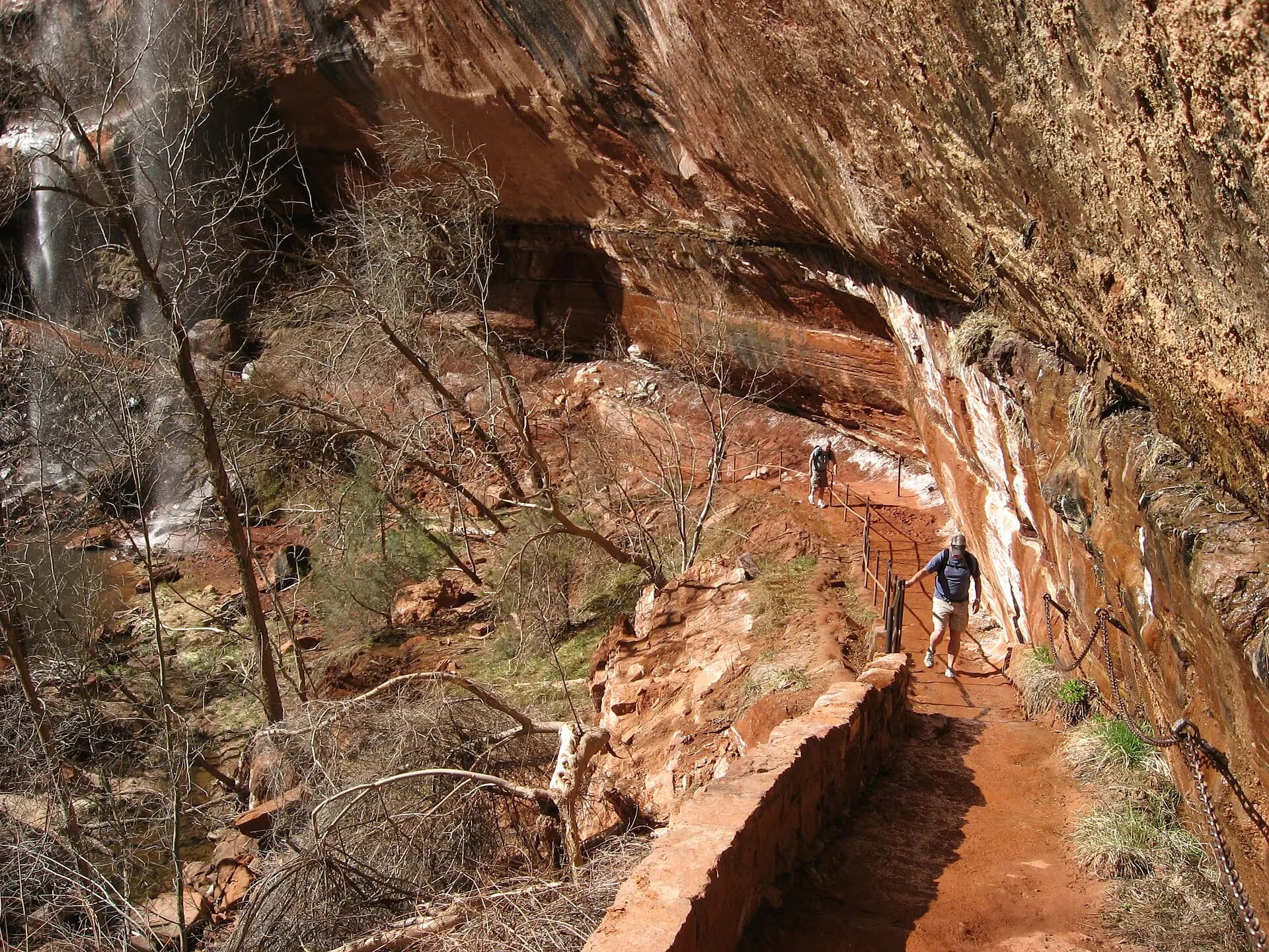
From Zion Lodge, a footbridge and trail lead to a series of pools fed by seeps and waterfalls that trickle over an overhang; the lower pool is an easy walk and the middle and upper pools are a steeper climb into an amphitheatre of cliffs. The falls are best after rain or snowmelt and can dwindle to drips by late summer.
- 6
Angels Landing
Photo: Andrew Heneen, CC BY 4.0, via Wikimedia Commons
A narrow sandstone fin rising almost 450 metres above the canyon, reached by the West Rim Trail's Walter's Wiggles switchbacks to Scout Lookout and then a final stretch along chains with steep drops on both sides. Everyone going beyond Scout Lookout needs a permit, issued by lottery on Recreation.gov. Scout Lookout itself needs no permit and has a fine view of its own.
TipDon't attempt the chains in wet, icy or windy weather, and turn back if the crowds feel unsafe.
- 7
Riverside Walk
Photo: Ken Lund from Reno, Nevada, USA, CC BY-SA 2.0, via Wikimedia Commons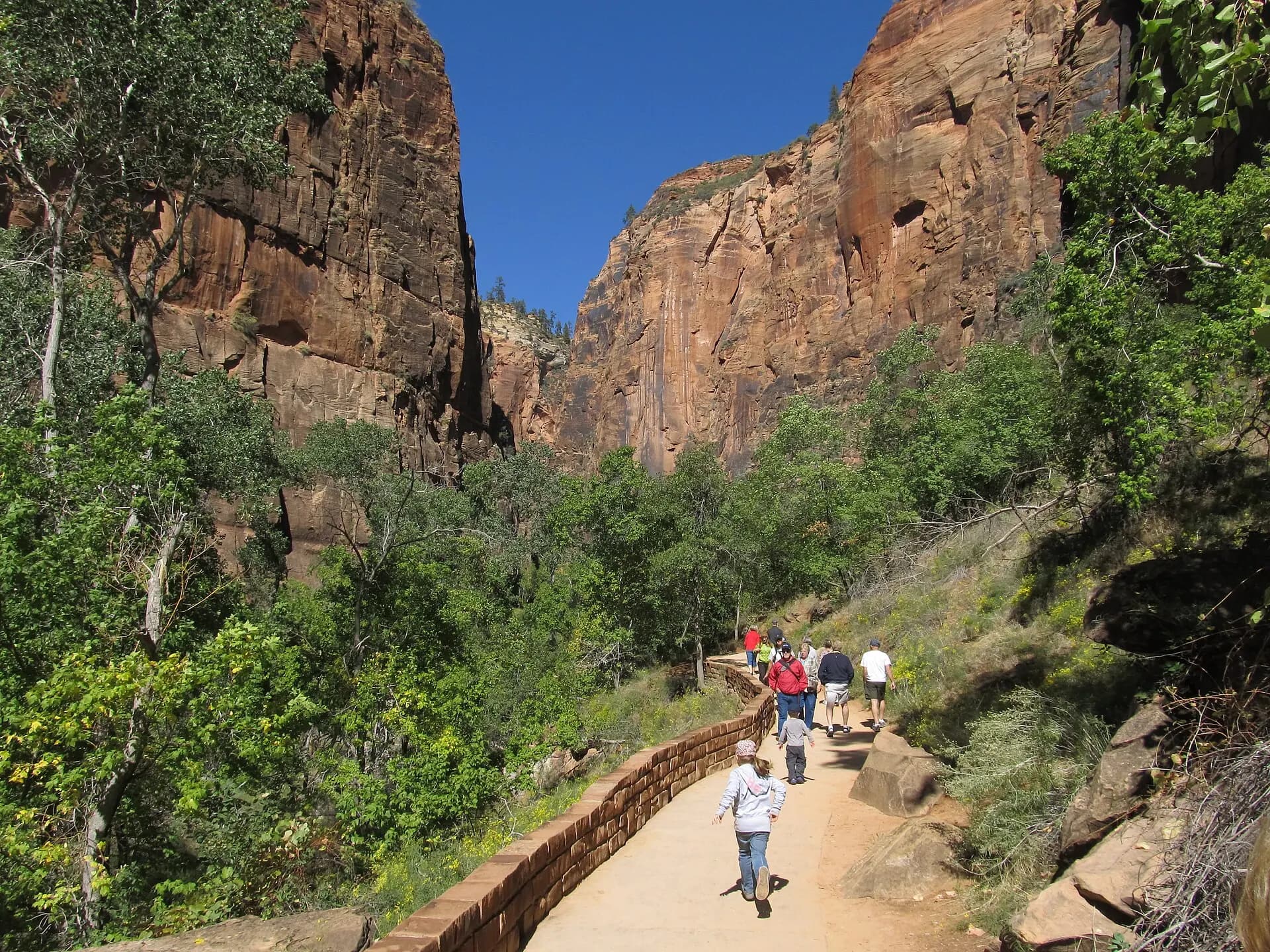
A paved, roughly 1.6-kilometre path from the Temple of Sinawava, the last shuttle stop, along the river between hanging gardens of ferns and monkeyflower. It ends where the canyon narrows and the trail becomes the river itself.
- 8
The Narrows
Photo: Bernard Spragg. NZ from Christchurch, New Zealand, CC0, via Wikimedia Commons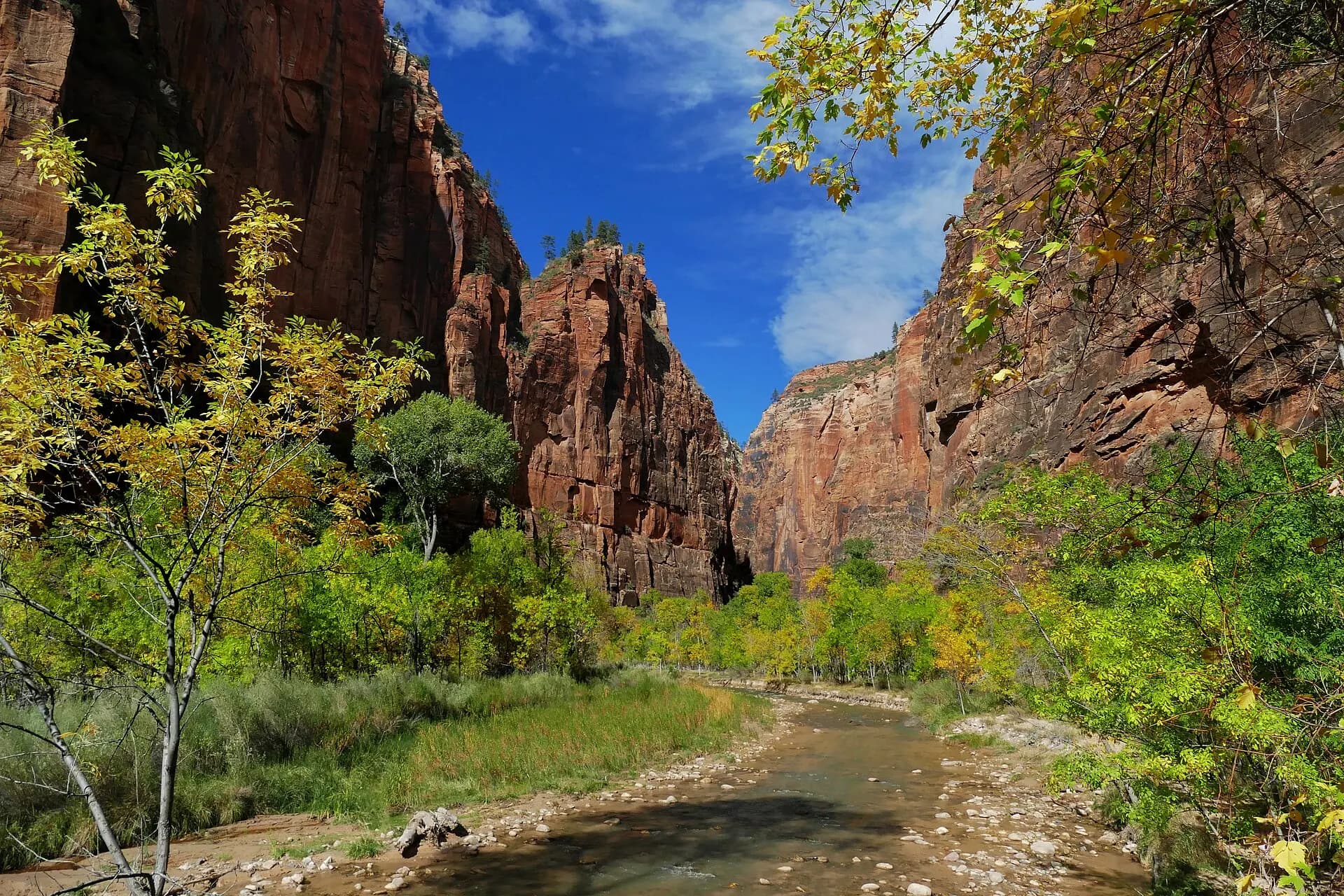
From the end of the Riverside Walk you wade up the Virgin River between walls that close in to a few metres apart. No permit is needed to hike upstream as far as Big Spring; many people walk an hour or two and turn back, while Big Spring is a long, strenuous full day. The park closes the Narrows when the river flow is above 150 cubic feet per second and during flash flood warnings, so late spring snowmelt often keeps it shut. Going top-down from Chamberlain's Ranch, a 16-mile through-hike, requires a wilderness permit.
TipWear sturdy closed shoes, use a walking pole, and check the flash flood forecast at the visitor centre that morning.
- 9
Canyon Overlook Trail
Photo: The Cosmonaut, CC BY-SA 2.5 ca, via Wikimedia Commons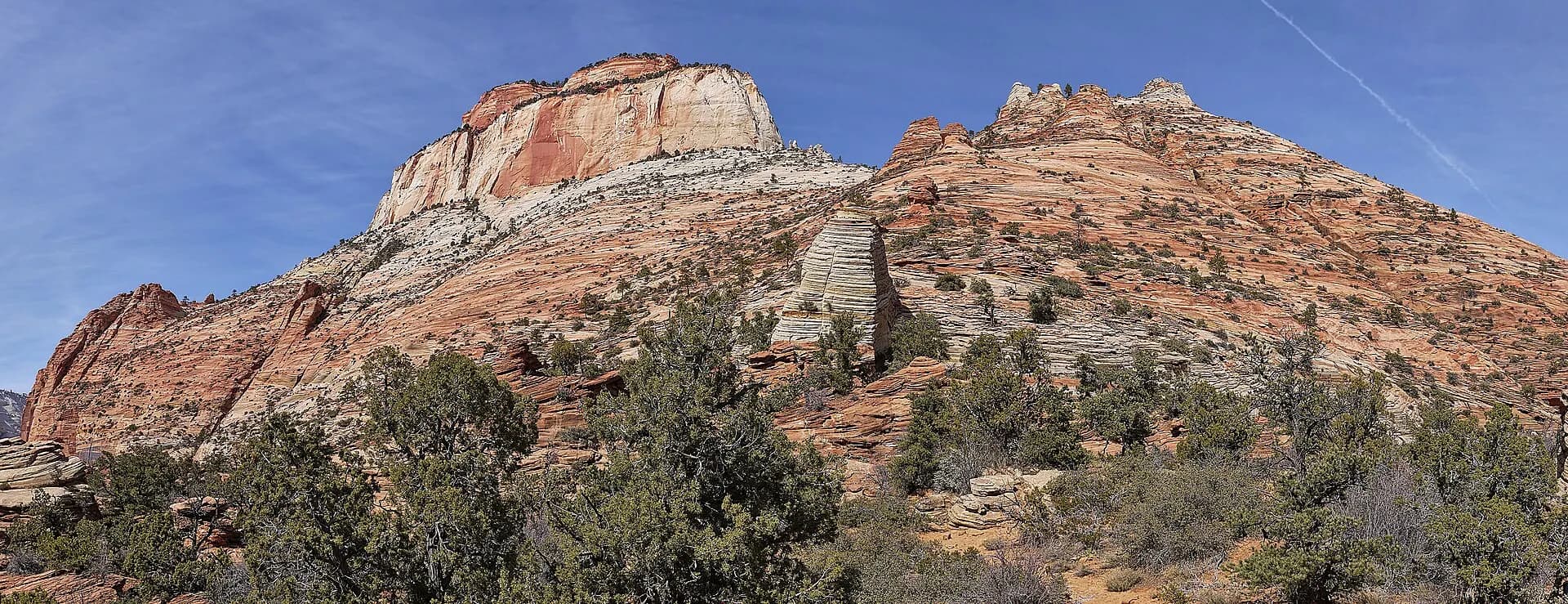
Just east of the Zion–Mount Carmel Tunnel, a short trail with ledges and a few exposed sections leads to a viewpoint high above lower Zion Canyon and the switchbacks of the highway. The parking area is tiny, so arrive early or late. Beyond it, the east side of the park is a world of swirling slickrock and Checkerboard Mesa.
- 10
Kolob Terrace and the Subway
Photo: Doc James, CC BY-SA 4.0, via Wikimedia Commons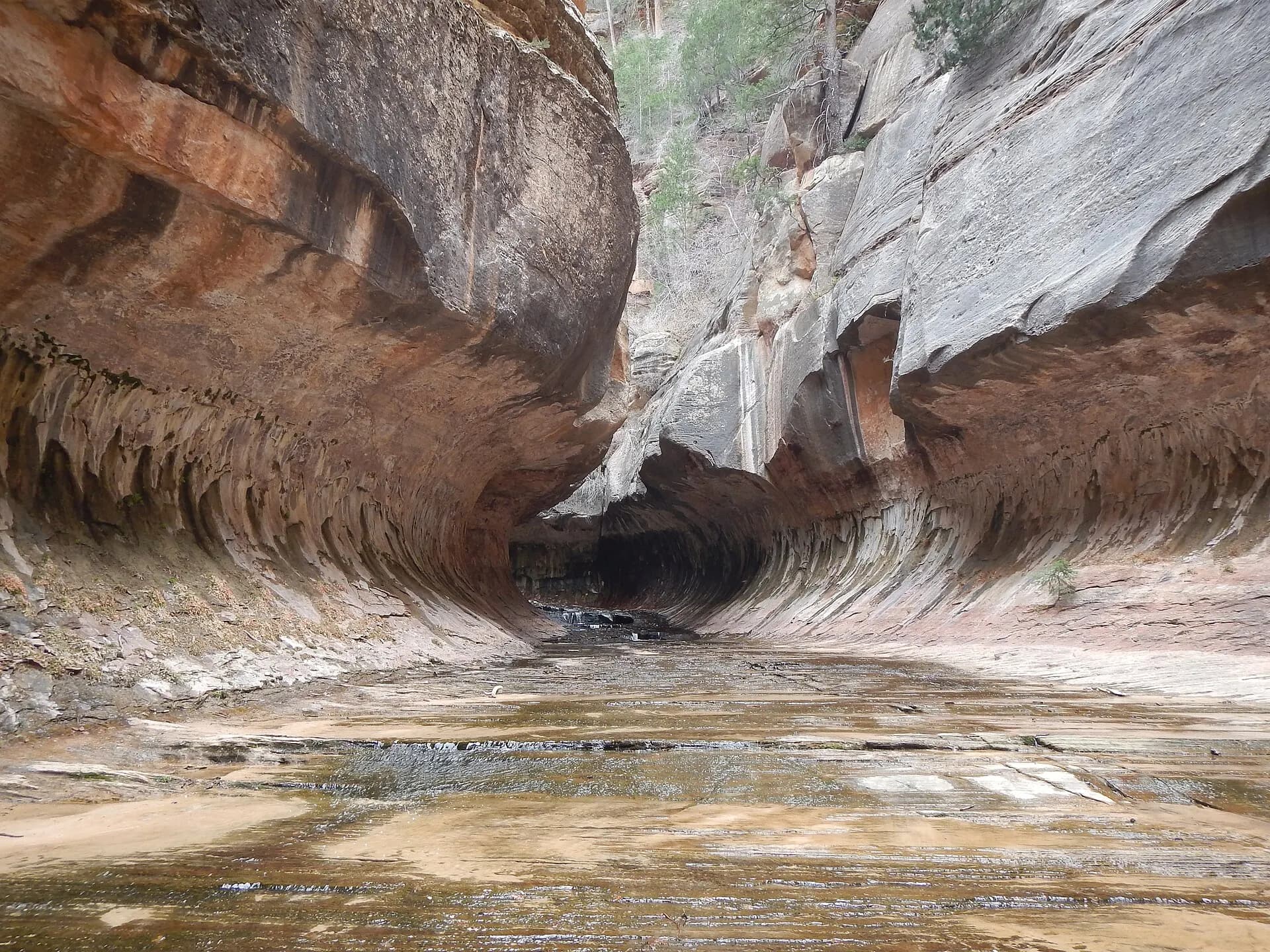
Kolob Terrace Road climbs north from the village of Virgin to high meadows, pine woods and Lava Point. The Left Fork of North Creek here holds the Subway, a tunnel-shaped slot with curving walls and pools. Every trip, even the bottom-up hike of about 14 kilometres round trip with wading and boulder-hopping, needs a wilderness permit from the seasonal or daily lottery, collected in person at the Zion Canyon Visitor Center.
- 11
Kolob Canyons
Photo: Aaron Zhu, CC BY-SA 3.0, via Wikimedia Commons
In the park's northwest corner, reached from Exit 40 on I-15 about an hour's drive from Springdale, a five-mile scenic road climbs past the Finger Canyons, a row of red cliffs and gorges. It's far quieter than the main canyon; the Timber Creek Overlook and Taylor Creek trails are good short and half-day walks. Pay or show your pass at the Kolob Canyons Visitor Center.
When to go
Spring and autumn are the best seasons, with warm days, cool nights and comfortable hiking, though they are also the busiest. Summer brings heat that often passes 38°C (100°F) on the canyon floor, plus the July to September monsoon, when afternoon thunderstorms can cause flash floods. Spring snowmelt raises the Virgin River and often closes the Narrows into June. Winter is quiet and can be lovely, with snow on the high walls, but trails can be icy, the upper roads at Kolob may close, and the shuttle runs only around the holidays.
Getting around
St George Regional Airport is about an hour from the South Entrance, Las Vegas around three hours and Salt Lake City around four. During shuttle season the Zion Canyon Scenic Drive is closed to private cars, including before the first bus and after the last, apart from Zion Lodge guests with a reservation. The free Springdale Line links the town with the park's pedestrian entrance, and the Zion Canyon Line runs from the visitor centre to the Temple of Sinawava. You can still drive the Zion–Mount Carmel Highway, Kolob Terrace Road and Kolob Canyons Road. Since June 2026 vehicles taller than 11 feet 4 inches, wider than 7 feet 10 inches, longer than 35 feet 9 inches or heavier than 50,000 pounds may not use the highway between Canyon Junction and the East Entrance at all, so large RVs heading for Bryce Canyon must go around by another route.
Local tips
- Entrance is $35 per private vehicle or $20 per person on foot or bike, valid for seven days; the America the Beautiful pass covers it.
- Non-US residents aged 16 and over pay an extra $100 nonresident fee unless they hold an annual pass; the non-resident America the Beautiful pass costs $250.
- Apply for Angels Landing in the seasonal lottery months ahead, or in the day-before lottery, which closes at 3pm Mountain Time.
- Arrive at the visitor centre before 8am in busy months, or come in on the Springdale shuttle; parking often fills early.
- Carry plenty of water and start long hikes at dawn in summer.
- Don't drink or swim with your head under in the Virgin River: toxic cyanobacteria have been found in it.
- Phone signal is patchy in the canyon; download maps and permits before you go.
Eat and drink
Food inside the park is limited to Zion Lodge's restaurant and café, so most meals happen in Springdale, which has everything from coffee shops and pizza to Southwestern dishes with green chilli and Navajo tacos. Pack a picnic and snacks for long hiking days; there are drinking water filling stations at the visitor centre and several shuttle stops.
Where to stay
Zion Lodge, the only hotel inside the park, has rooms and historic cabins near the Emerald Pools trailhead and books up well ahead. Watchman and South campgrounds sit by the river near the South Entrance and need reservations in season, while small Lava Point is a high, seasonal campground on Kolob Terrace. Springdale has the widest range of hotels and guesthouses within walking distance of the entrance; Virgin, Hurricane and St George are cheaper bases further west, and Mount Carmel Junction and Kanab work for the east side.
Flash floods and the slot canyons
Zion's narrow canyons drain a huge area of high plateau, and a storm many kilometres away can send a wall of muddy water, logs and boulders down a slot under clear skies. The Narrows, the Subway and the park's other canyons have no easy escape once the walls close in. The National Weather Service issues a flash flood forecast for the park, shown at visitor centres and online, and the park shuts the Narrows during warnings and for at least two hours afterwards. Watch for rising or muddying water, floating debris or a roar upstream, and climb to high ground at once if you see them. The monsoon from July to September is the main risk, but floods can happen in any month.
Heat and hiking safety
The canyon floor traps heat in summer, and the exposed climbs to Angels Landing, Observation Point and the Watchman get full sun for much of the day. Start early, carry more water than you think you need along with salty snacks, and rest in shade during the hottest hours. Heat exhaustion is one of the most common reasons for rescues here. Rockfall is a real hazard too: in 2026 a large collapse briefly closed the Zion–Mount Carmel Highway, and Hidden Canyon and part of the East Rim Trail remain closed after earlier rockfalls. Check the park's current conditions page before every hike.
The canyon's people and history
People have lived in and around Zion for thousands of years, from ancestral Puebloan and Virgin Anasazi farmers to the Southern Paiute, whose descendants still live in the region. Mormon settlers farmed the canyon in the 1860s, and many of its peaks carry names from that era. The area was protected as Mukuntuweap National Monument in 1909 and became Zion National Park in 1919. The 1.8-kilometre Zion–Mount Carmel Tunnel, finished in 1930, was one of the longest of its kind when built and opened a route east towards Bryce Canyon, which many visitors continue on to next.
Responsible travel
Zion receives millions of visitors a year in a small canyon, so stay on trails and avoid trampling the fragile cryptobiotic soil, a dark crust that takes decades to form. Pack out all rubbish, never feed squirrels, and keep a distance from bighorn sheep and other wildlife. Leave rock art and historic sites untouched, and don't stack cairns. The Zion Forever Project, the park's official nonprofit partner, funds trail work, education and conservation, and its stores support those projects.