Hạ Long Bay
Close to two thousand limestone towers rise from a jade-green gulf, hollowed by caves and wrapped in legends of a dragon that came down to defend the coast.
- Best time to go
- October to November and March to May, for calmer seas and fewer storms; December to February is dry but cool and misty
- Local time
- –
- Currency
- Vietnamese Dong (VND)
- Reading time
- 11 min
- Language
- Vietnamese
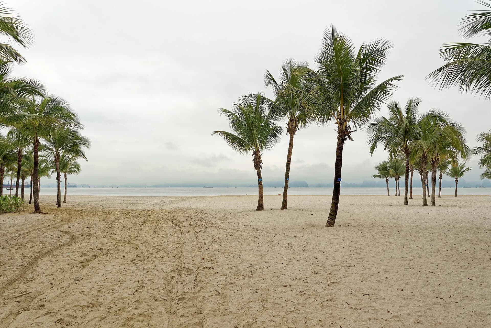
Hạ Long Bay is a drowned limestone landscape in the Gulf of Tonkin, where well over a thousand islands and pillars, most of them uninhabited and cloaked in jungle, rise sheer from shallow green water. Millions of years of rain and sea have carved the rock into towers, arches and hollow shells riddled with caves. UNESCO first listed the bay in 1994 for its scenery, added its geology in 2000, and in 2023 extended the site south to take in the Cát Bà archipelago, so the World Heritage Site is now called Hạ Long Bay – Cát Bà Archipelago.
Almost everyone sees it from a boat. Cruises leave from Hạ Long city, about two and a half hours by expressway from Hanoi, and follow numbered official routes past the famous caves and islets. Further out, Bái Tử Long Bay to the north-east and Lan Hạ Bay off Cát Bà Island offer the same scenery with fewer vessels, beaches you can kayak to, and a national park full of forest trails.
The top 17 in Hạ Long Bay
- 1
Hạ Long city and Bãi Cháy Bridge
Photo: Jrwooley6, CC BY-SA 2.0, via Wikimedia Commons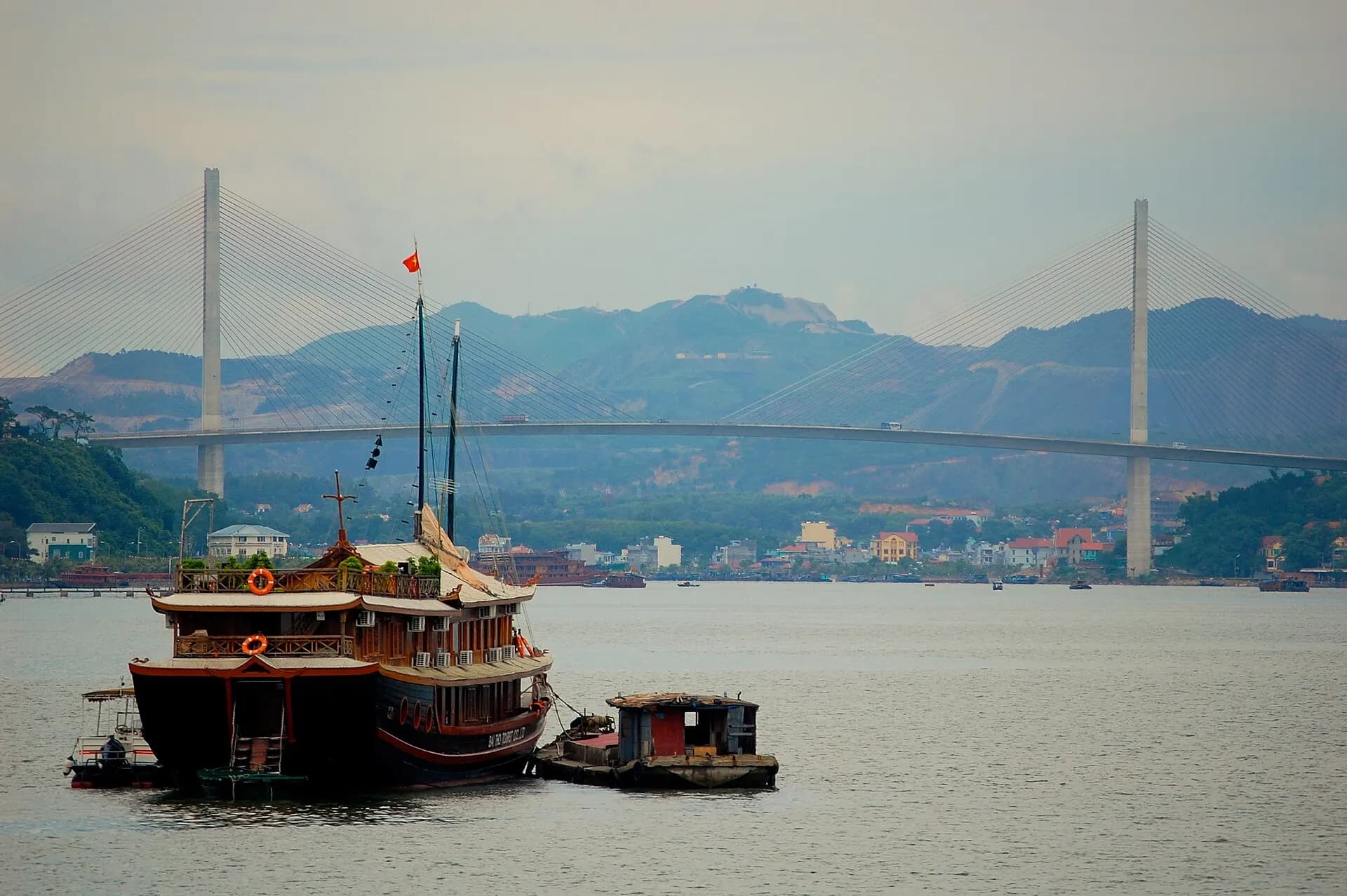
The gateway town is split by the narrow Cửa Lục strait: Bãi Cháy, on the western side, holds the hotels, the seafront promenade and the cruise ports, while Hòn Gai to the east is the older coal-mining and market town. The elegant cable-stayed Bãi Cháy Bridge, opened in 2006, links the two and is lit up at night. Most cruises leave from Tuần Châu marina, a short way west, or from the international cruise port in Bãi Cháy.
TipArrive the evening before an early cruise and walk the Bãi Cháy promenade at sunset, when the islands just offshore turn to silhouettes.
- 2
Sun World Hạ Long
Photo: Saaremees, CC BY-SA 4.0, via Wikimedia Commons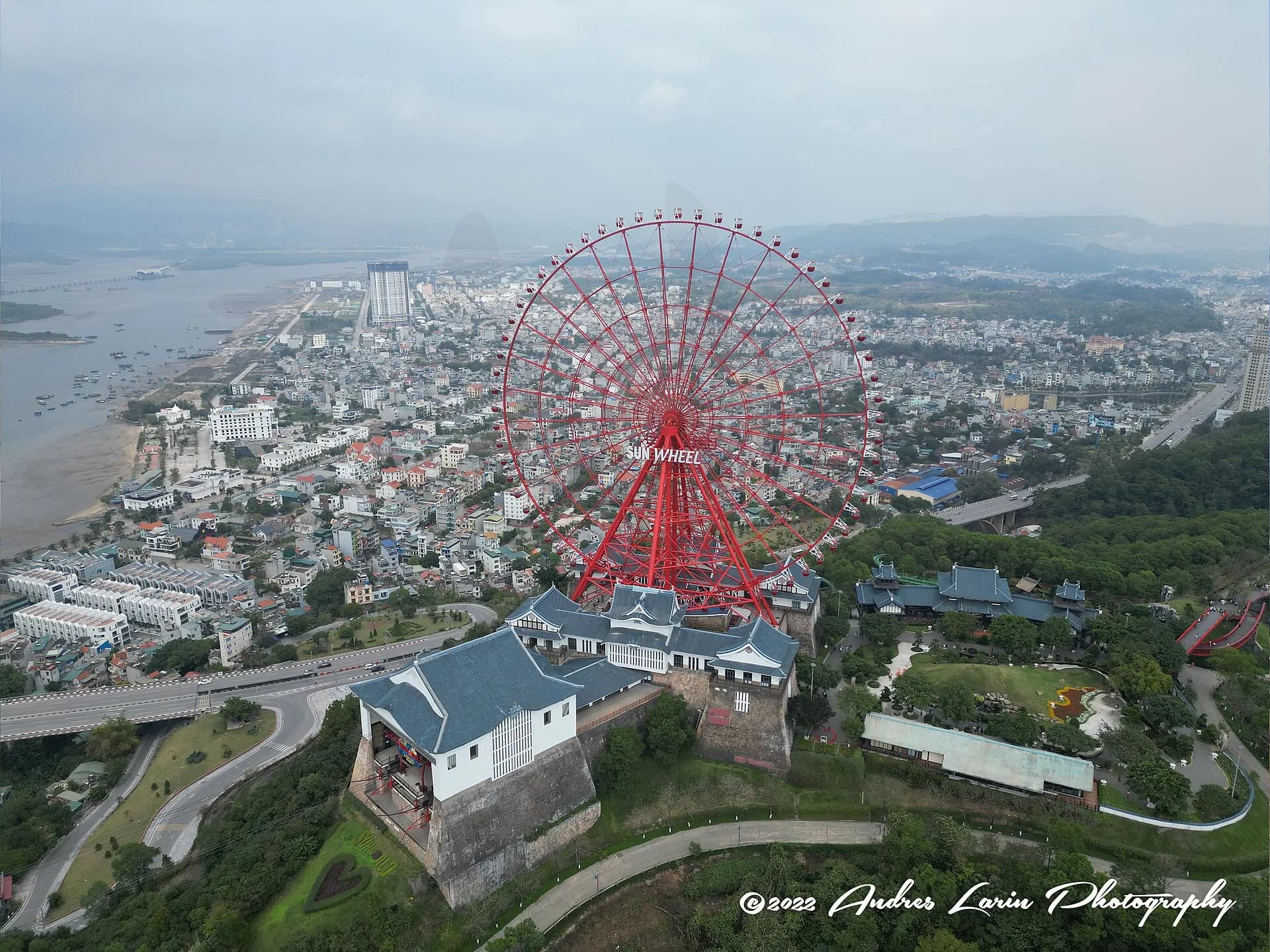
A large leisure complex on both sides of the strait. The Queen Cable Car swings high over the water from the Bãi Cháy seafront to Ba Đèo hill, where a giant Ferris wheel, the Sun Wheel, gives one of the best views of the islands without getting on a boat. Below, there are a water park, a theme park and gardens. It is touristy, but the cable-car ride over the bay is worth it on a clear day.
- 3
Quảng Ninh Museum
Photo: Hoangkid, CC BY-SA 4.0, via Wikimedia Commons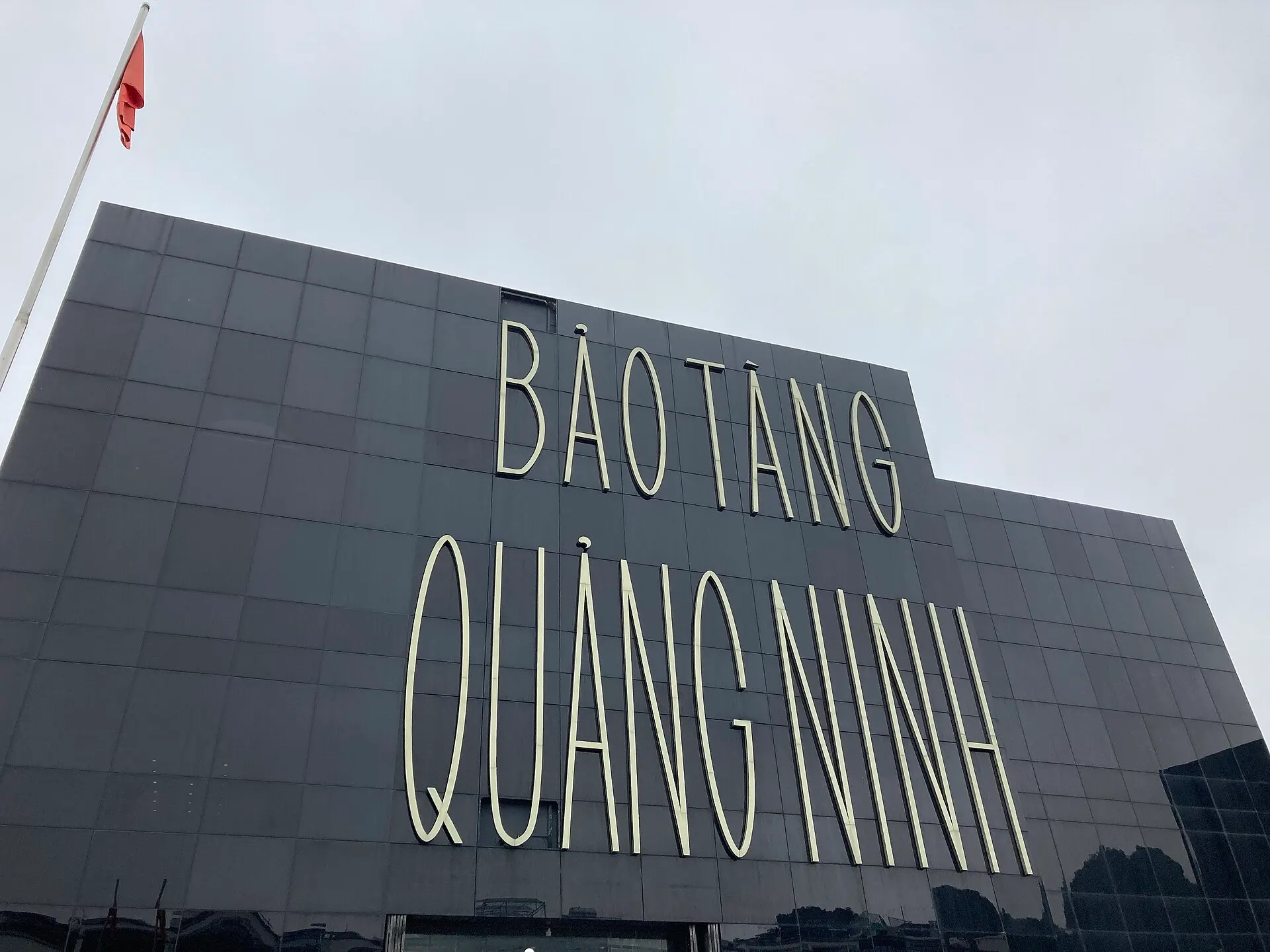
A striking, black glass box on the Hòn Gai waterfront, with well-presented galleries on the bay's geology and marine life, the Neolithic "Hạ Long culture" of the area's earliest people, the naval battles on the Bạch Đằng River, and the coal mines that built the modern province. It is a good rainy-day stop and gives useful context before a cruise.
- 4
Đầu Gỗ Cave
Photo: Mustang Joe, CC0, via Wikimedia Commons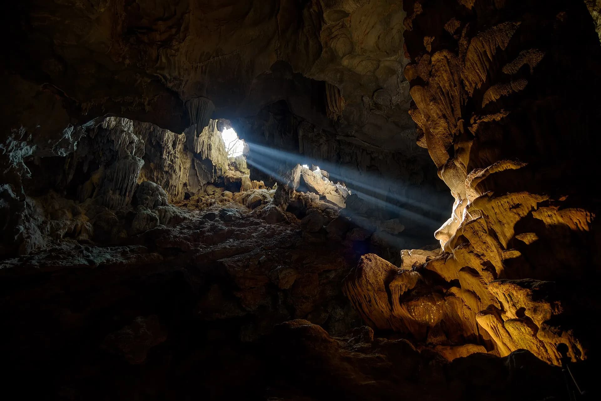
On Route 1, the closest cave to the harbour. Its name means "wooden heads": legend says the general Trần Hưng Đạo stored the sharpened stakes here that his forces planted in the Bạch Đằng River in 1288 to wreck a Mongol fleet. Steps climb from the landing to a large, cool chamber of stalactites, and a carved stone inscription from the early twentieth century records a royal visit.
- 5
Thiên Cung Cave
Photo: Vyacheslav Argenberg, CC BY 4.0, via Wikimedia Commons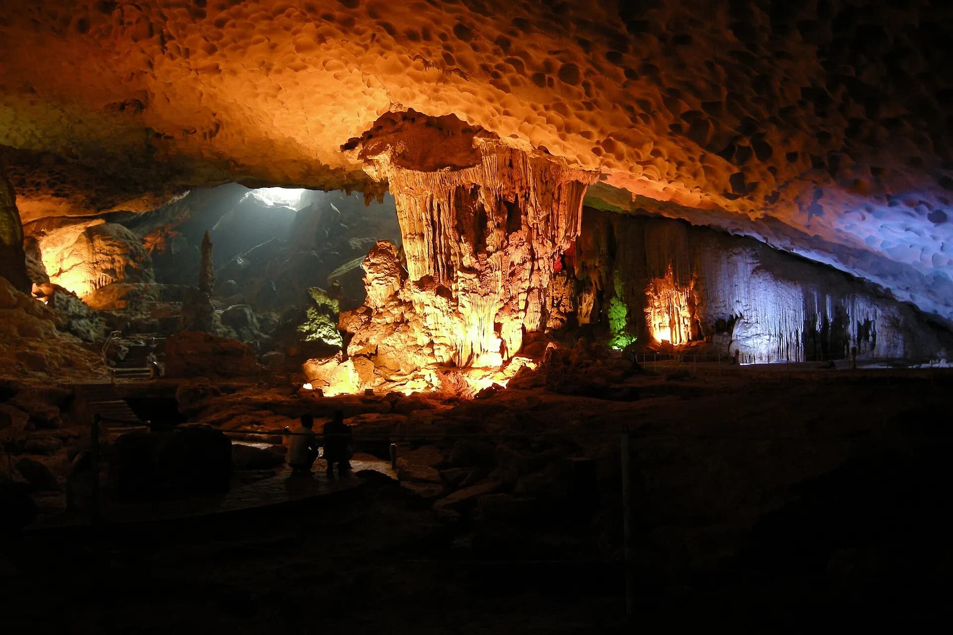
Just next to Đầu Gỗ on the same island, the "Heavenly Palace" was only opened to visitors in the 1990s. Its walls are crowded with stalactites and stalagmites that guides liken to animals, gods and palace columns, all lit in shifting colours. The two caves are usually visited together on a short Route 1 cruise.
- 6
Fighting Cocks islet
Hòn Trống Mái, a pair of rocks about ten metres high that face each other like a cockerel and a hen, is the bay's best-known emblem. Boats on Route 1 slow down beside it for photos, along with the nearby Đỉnh Hương (Incense Burner) islet. You cannot land; this is a sight best seen from the water.
- 7
Ti Tốp Island
Photo: Steffen Schmitz (more photos), CC BY-SA 4.0, via Wikimedia Commons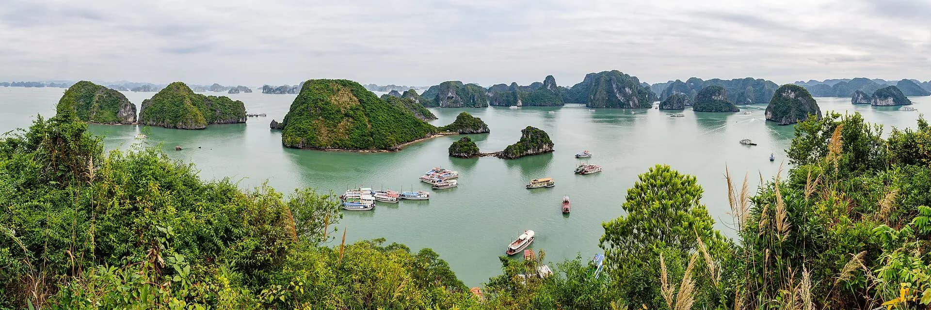
A small island with a crescent of white sand, named after the Soviet cosmonaut Gherman Titov, who visited with Hồ Chí Minh in 1962. A stairway of several hundred steps leads to a pavilion on the summit with a sweeping view over the islands and the anchored fleet. There is a swimming area below, though the beach is crowded in summer.
TipClimb first and swim after; the summit path is hot and exposed by midday.
- 8
Sửng Sốt Cave
Photo: Jakub Hałun, CC BY 4.0, via Wikimedia Commons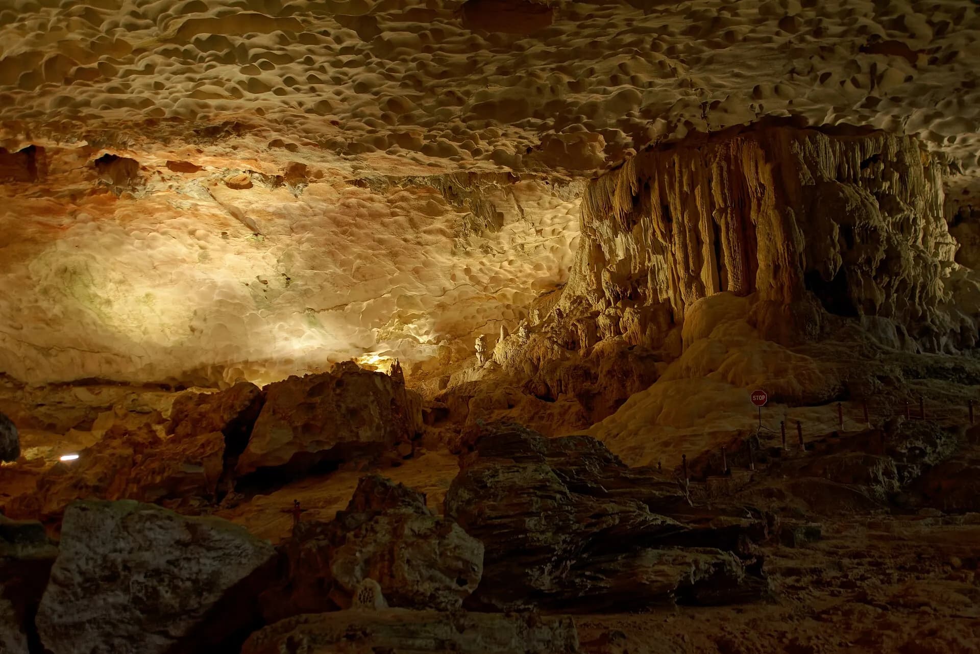
The "Surprise Cave", on Bồ Hòn island, is the largest and most impressive of the bay's show caves. A stepped path climbs to the entrance, then leads through two vast chambers, the second big enough to hold several thousand people, with a natural skylight and a forest of rock formations. It is on Route 2 and on most overnight cruises, so expect a queue at peak times.
TipWear shoes with grip; the paths inside are damp and there are many steps.
- 9
Luồn Cave
Photo: Mig Gilbert from Brighton, CC BY-SA 2.0, via Wikimedia Commons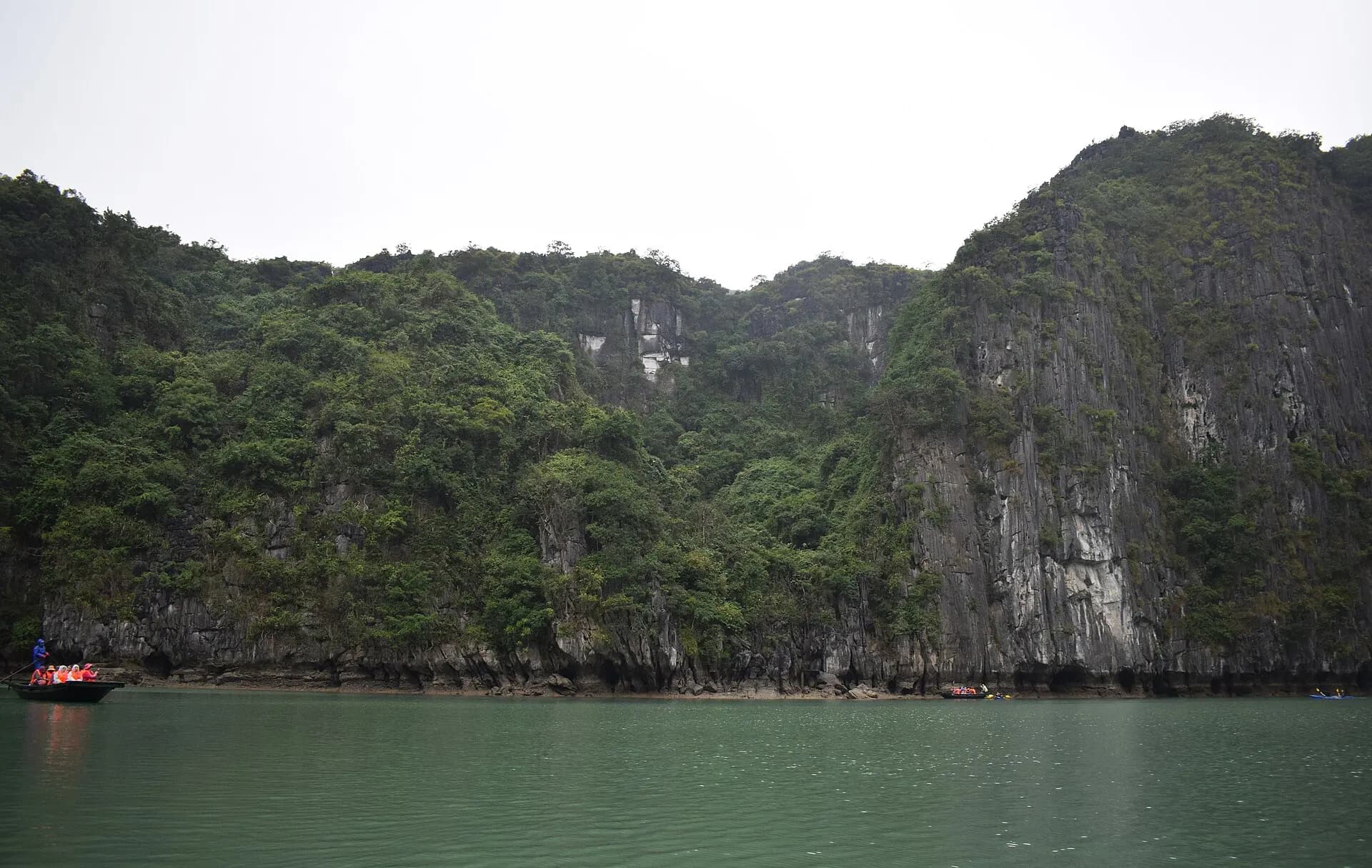
A low tunnel through the rock on Bồ Hòn island opens into a hidden lagoon ringed by sheer cliffs, where macaques are sometimes seen on the ledges. You pass through by kayak or in a small bamboo boat rowed by a local, depending on the tide. It is one of the bay's most memorable short experiences and usually comes with Sửng Sốt and Ti Tốp on Route 2.
- 10
Mê Cung Cave
Photo: Ji-Elle, CC BY-SA 4.0, via Wikimedia Commons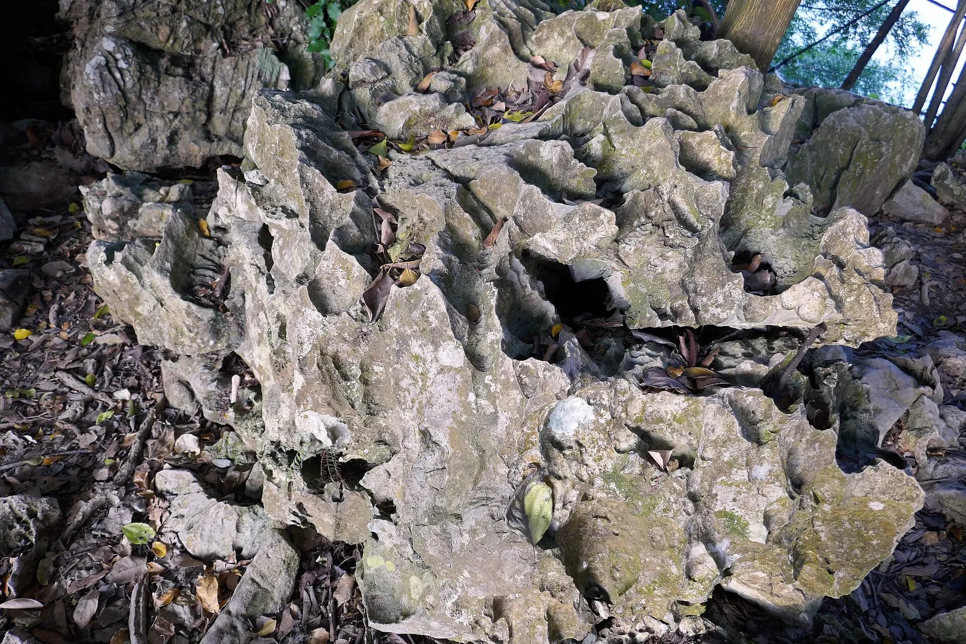
The "Maze Cave", on Lom Bò island south of Bồ Hòn, is quieter than its neighbours. Archaeologists found shell middens and stone tools here left by prehistoric people who lived in the bay thousands of years ago. It appears on some cruise itineraries rather than every day trip.
- 11
Cửa Vạn floating village
For generations, fishing families lived in wooden houses on floating platforms in this sheltered lagoon, with a floating school and shops. Most residents were resettled on land in 2014 to improve living conditions and protect the water, so the village is smaller and quieter today, but rowing boats still take visitors through the coves. It lies on Route 3 and some longer cruises.
- 12
Vung Viêng fishing village
Further east and more secluded than Cửa Vạn, Vung Viêng sits in a calm basin enclosed by karst walls. Local rowers, many of them women from fishing families, paddle visitors in bamboo boats past floating houses and a pearl farm. It is the highlight of Route 4 and of cruises heading towards Bái Tử Long.
- 13
Bái Tử Long Bay
Photo: Le Anh Tuan, Public domain, via Wikimedia Commons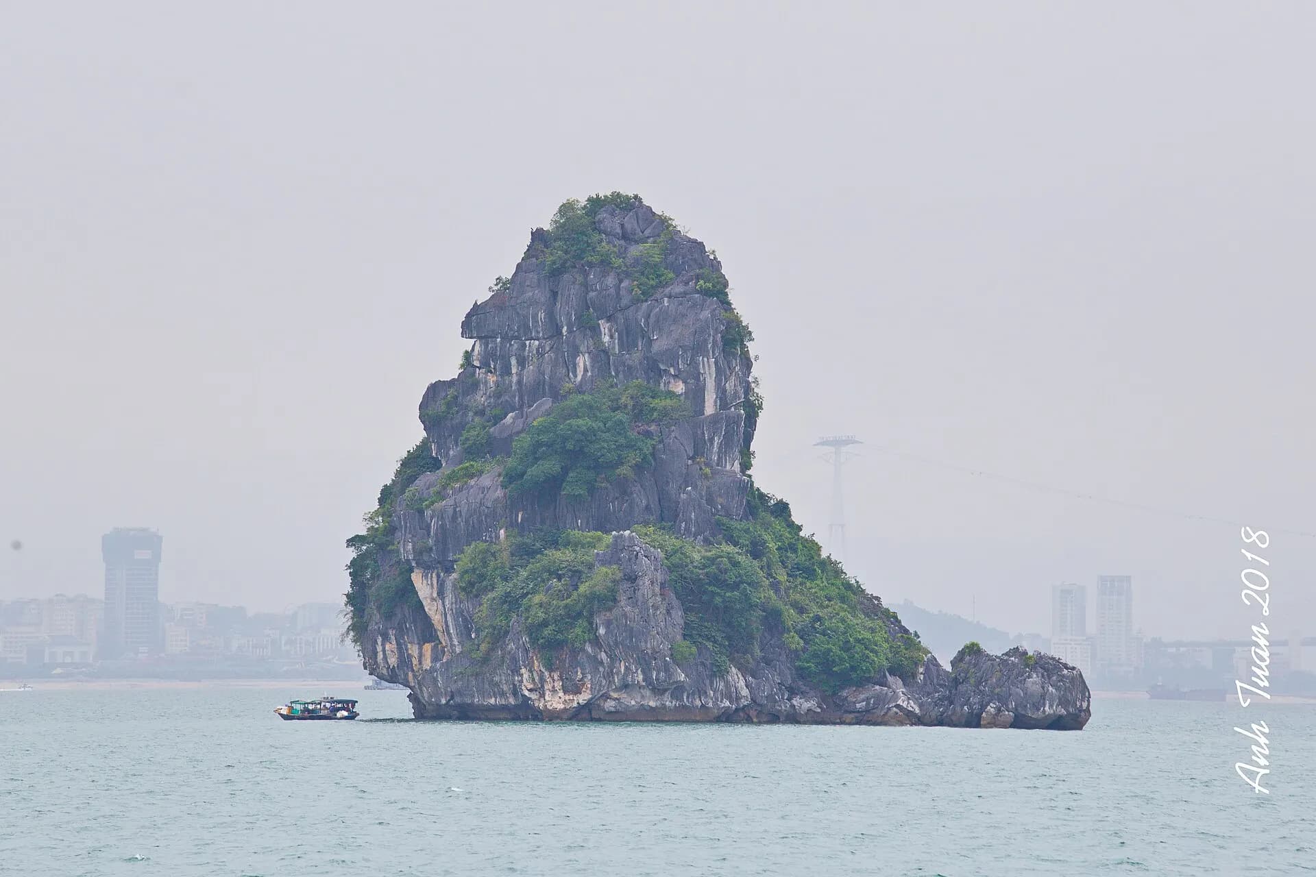
North-east of Hạ Long Bay, Bái Tử Long shares the same towering scenery but sees far fewer boats. Part of it is protected as Bái Tử Long National Park, with mangroves, beaches and islands such as Quan Lạn and Cô Tô further out. Overnight cruises here trade the famous caves for quiet anchorages and kayaking among the islets.
- 14
Lan Hạ Bay
Photo: Velvet, CC BY-SA 4.0, via Wikimedia Commons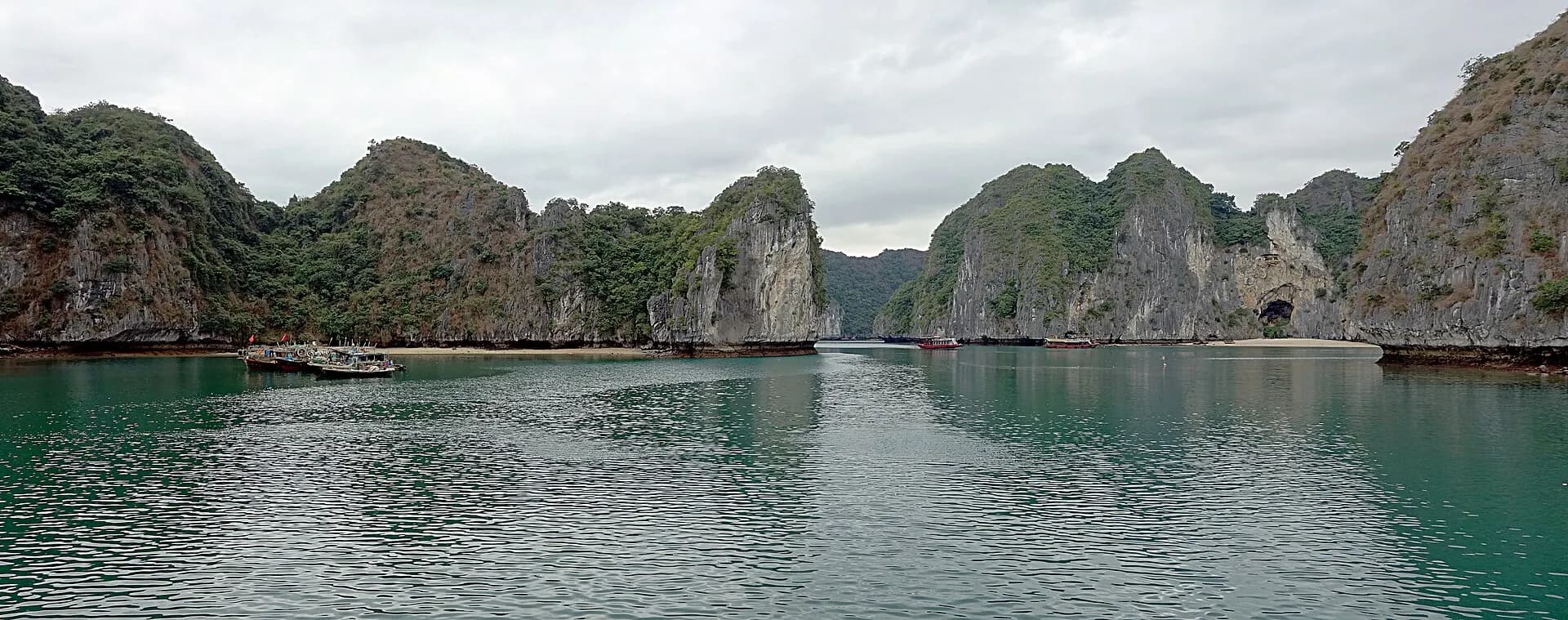
South of Hạ Long Bay, off the east coast of Cát Bà Island, Lan Hạ became part of the World Heritage Site in 2023. Its hundreds of islets shelter small beaches, lagoons and kayaking routes, and it is generally calmer and less crowded than the main bay. Boats leave from Cát Bà town's harbour, and some overnight cruises from Hạ Long cross over via the new VHL6 route.
- 15
Cát Bà town and Cannon Fort
Photo: Jakub Hałun, CC BY 4.0, via Wikimedia Commons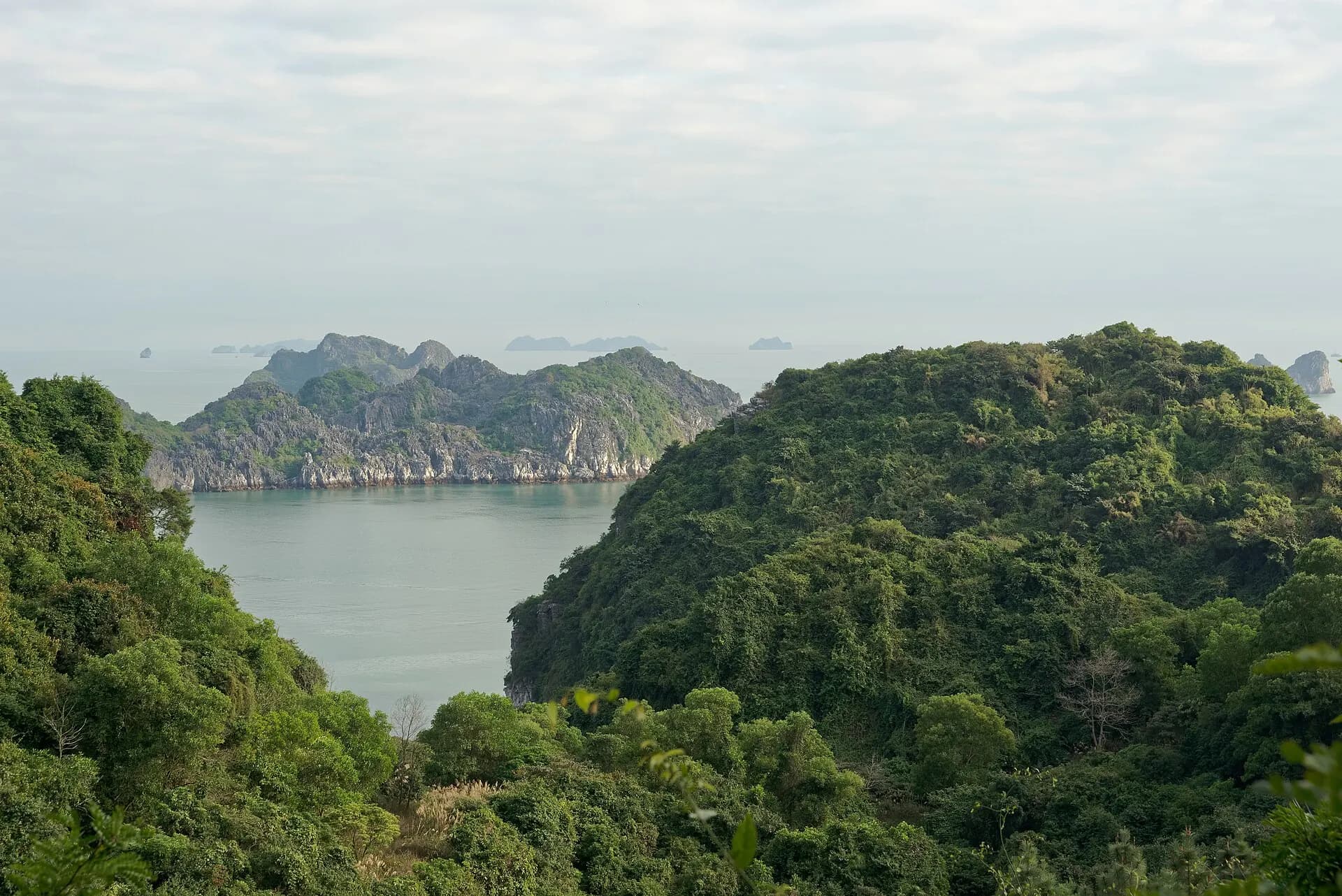
Cát Bà town is the busy harbour on the south of the island, a base for boats to Lan Hạ and for budget travellers. Above it, Cannon Fort keeps gun emplacements and tunnels from the French and later wars, with a road and steps leading to viewpoints over the harbour, the fishing fleet and Lan Hạ's islands. Late afternoon light here is excellent.
- 16
Hospital Cave
A cave on Cát Bà converted during the American War into a secret, bomb-proof hospital on several levels, with operating rooms, wards and a small cinema. Guides explain how it was built and used, and it is a sobering contrast to the bay's natural caves.
- 17
Cát Bà National Park
Photo: Jakub Hałun, CC BY 4.0, via Wikimedia Commons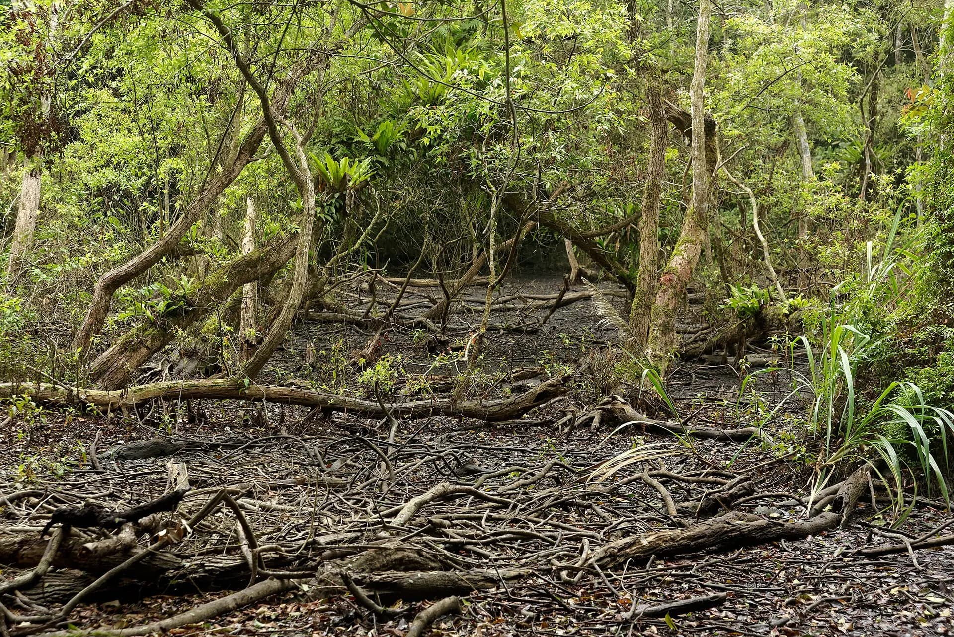
Created in 1986, the park covers much of Cát Bà Island in limestone forest, and is the last home of the critically endangered Cát Bà langur, a golden-headed monkey of which only a few dozen survive. The most popular walk climbs from the headquarters near Trung Trang to Ngự Lâm peak, a steep, rocky hour or so up to a lookout over endless forested ridges. Longer treks need a guide.
TipStart early, carry plenty of water and wear proper shoes; the rock is sharp and slippery after rain.
Choosing a cruise
A day cruise of four to six hours from Tuần Châu or Bãi Cháy covers one official route, typically Route 1 (Đầu Gỗ, Thiên Cung and the Fighting Cocks) or Route 2 (Ti Tốp, Sửng Sốt and Luồn). Combined with the road trip, it makes a very long day from Hanoi: around five hours on the road and a few hours on the water. It suits those short of time, but the boat is in the busiest part of the bay at the busiest hours.
An overnight cruise of two days and one night, or three days and two nights, is the classic way to see the bay. You sleep aboard at a designated anchorage, wake to the islands at dawn, and usually get kayaking, a cave visit, a swim and a cooking demonstration. Many overnight boats now head for Lan Hạ or Bái Tử Long, which are quieter, so check the itinerary rather than assuming the famous caves are included.
The bay's sightseeing routes are set by Quảng Ninh province and fees are charged per person per route. In 2025 the long-standing Routes 1 to 5 were renamed VHL1 to VHL5, with fees unchanged, and three new routes were added: VHL6, linking the bay to Lan Hạ via the Cặp Bài area; VHL7, combining the first four routes in one ticket; and VHL8, a shorter trip from the ports. Fees are usually built into a cruise price; if booking a boat yourself, ask which route ticket is included.
When comparing operators, look past the photos. Check that the vessel is licensed and recent, that life jackets are provided in every cabin, that kayaking is supervised, and that the itinerary lists specific caves, villages or bays. The cheapest trips often cram in shopping stops and spend more time in transit.
When to go
The bay is open all year, but conditions change sharply with the seasons. October and November, and March to May, usually bring the best mix of calm seas, mild temperatures and decent visibility. December to February is dry but cool, often around 15°C, with grey skies and mist that can soften the views; overnight cabins are heated on better boats. Spring brings sea fog on some mornings.
June to September is hot, humid and wet, and the core typhoon season, roughly July to October, can bring storms at short notice. The harbour authorities suspend sailings when a storm or strong winds are forecast, and cruises are cancelled or shortened; that is a rule to welcome, not resent. In July 2025 a tourist boat capsized in a sudden thunderstorm, killing dozens of people, which led to closer scrutiny of weather warnings. Build a spare day into your trip in summer and autumn, and check your operator's cancellation terms.
Weekends and Vietnamese holidays, especially the summer school break and Tết, are much busier and pricier.
Getting around
From Hanoi: the expressway via Hải Phòng has cut the drive to Hạ Long to about two and a half hours. Most cruises include a shared shuttle or limousine van from the Old Quarter; otherwise, buses leave from Hanoi's bus stations, and private cars are easy to book. Vân Đồn International Airport, north-east of the city, has domestic flights and is about an hour's drive from Bãi Cháy.
On the water: you cannot simply hire a boat and wander; all tourist vessels follow registered routes from Tuần Châu marina or the cruise ports in Bãi Cháy. Day boats can be booked at the ports, but agencies and cruise companies handle most bookings.
To Cát Bà: a car ferry crosses from Tuần Châu to Gia Luận in the north of Cát Bà Island, and a road runs south to Cát Bà town. From Hải Phòng, ferries and a cable car link the mainland to the island, and combined bus-and-boat tickets run from Hanoi. On the island, scooters and taxis are easy to hire; boats to Lan Hạ leave from the harbour at Bến Bèo, just outside town.
In town: ride-hailing apps work in Hạ Long, and taxis are plentiful. The cable car is a fun way to cross the strait.
The legend and history of the bay
The name Hạ Long means "descending dragon". In the best-known version of the story, when Vietnam was threatened by invaders from the sea, the Jade Emperor sent a mother dragon and her children to help. They spat out jewels and pearls that turned into a wall of islands, wrecking the enemy fleet, and then stayed on, enchanted by the place. The mother rested where Hạ Long Bay lies, her children bowed at Bái Tử Long ("bowing dragon children"), and the tail lashed the sea at Bạch Long Vĩ, an island far out in the gulf.
History echoes the myth. The Bạch Đằng River, which enters the sea at the bay's western edge, saw three great naval victories over invading Chinese and Mongol fleets, in 938, 981 and 1288, each won partly by planting stakes in the riverbed that impaled ships at low tide. Long before that, the caves sheltered prehistoric people, whose shell heaps and tools give their name to the Hạ Long culture. Under French rule the area became a coal-mining centre, and Hòn Gai's mines still shape the landscape to the east of the city.
Eat and drink
Seafood is the reason to eat here. Chả mực, fried squid cakes pounded by hand, are Hạ Long's signature and are often eaten with sticky rice or noodles. Look also for steamed or grilled clams, crab, prawns and sá sùng, a peanut worm that is dried and used to sweeten broths. Restaurants on the Bãi Cháy and Hòn Gai waterfronts let you choose your seafood from tanks; agree the weight and price before it goes to the kitchen.
On Cát Bà, try fresh fish and squid at the harbour stalls, and noodle soups with seafood. Most cruises include all meals, usually a set menu of Vietnamese dishes with plenty of seafood; let the operator know in advance about allergies or vegetarian needs. Drinks on board are usually charged separately and can be expensive.
Responsible travel
Mass tourism has put real pressure on the bay. The province has banned single-use plastics on tourist boats and replaced old foam floats on fish farms, but rubbish still washes into coves. Take a refillable bottle, refuse plastic straws and bags, and never throw anything overboard.
Stay on marked paths in caves and do not touch the formations, which are damaged by skin oils and take thousands of years to grow. Kayak and swim only where permitted, give the macaques a wide berth and never feed them, and choose operators that employ local rowers and guides. In the national park, keep to the trails and keep noise down; the langurs are extremely rare and easily disturbed.
Local tips
- Check the weather and any storm warnings the day before you sail; boats can be held in port at short notice.
- Bring cash in Vietnamese đồng for tips, rowing-boat rides, drinks and small entry fees, especially on Cát Bà.
- Pack sun protection, a hat, a light rain jacket and shoes with grip for cave steps.
- Read reviews and confirm exactly which route, caves and bay an overnight cruise visits.
- Life jackets must be worn on small boats and kayaks; ask for one if it is not offered.
- Hạ Long is easily combined with Hanoi before or after; the mountains of Sa Pa lie in the opposite direction, so allow a night in Hanoi between them.
- Administrative names in the area changed with Vietnam's 2025 local-government reforms; signs and maps may show both old and new names.